Leica Geosystems
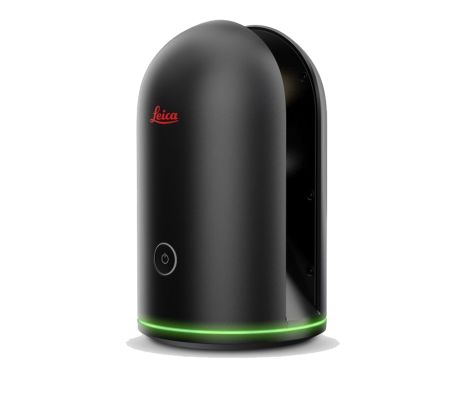
BLK
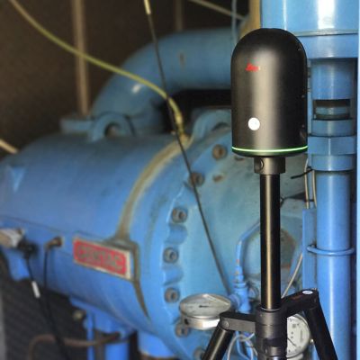
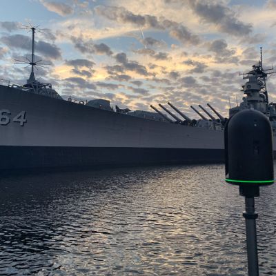
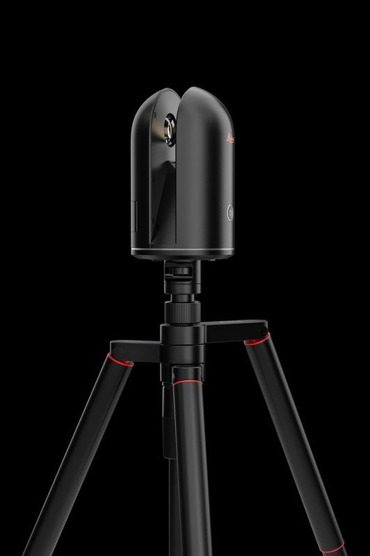
The BLK360 is the smallest and lightest imaging and laser scanner available. The BLK360 will be available through online purchase and includes a subscription to Autodesk ReCap 360 Pro.
3D scanner with integrated spherical imaging system and thermography panorama sensor system.
3D scanner with integrated spherical imaging system and thermography panorama sensor system.
Rent the BLK
Distance Measurement System | High speed time of flight enhanced by Waveform Digitizing (WFD) technology | |
Laser Class | 1 (in accordance with IEC 60825-1:2014) | |
Range | Min. 0.6 - up to 60 m | |
Speed | 360'000 pts/sec | |
Accuracy | 4mm @ 10m 7mm @ 20m |
field of view
360°
HORIZONTAL
field of view
300°
VERTICAL
measurement modes
3users
selectable resolution settings
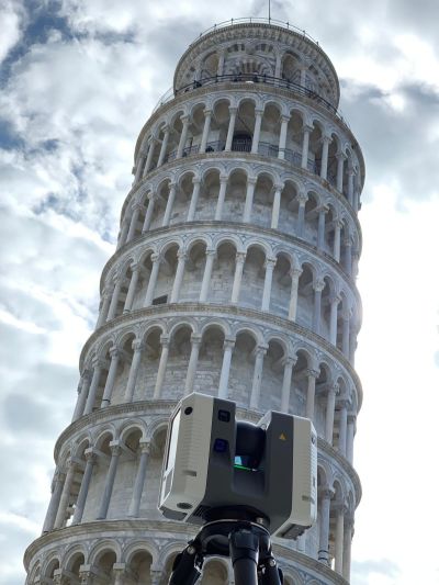
Additional Features
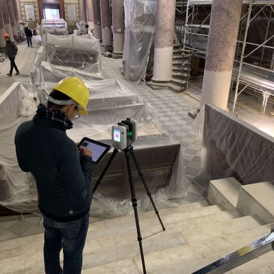
High-performance, medium-sized 3D laser scanner that easily captures 3D point clouds | Automatically register and clean point clouds | Collect data in the field on a regular tablet or smartphone, using a Leica app | Provide access to your scan data for office use as you're scanning | Rent or Purchase Available
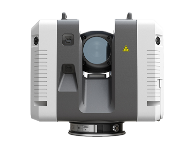
RTC360
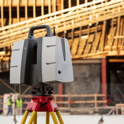
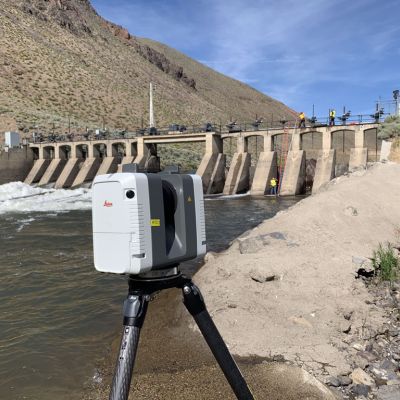
The Leica RTC360 laser scanner makes 3D reality capture faster than ever before. With a measuring rate of up to 2 million points per second and advanced HDR imaging system, the creation of colored 3D point clouds can be completed in under 2 minutes.
Rent the RTC360
Distance Measurement System | High-speed, high dynamic time of flight enhanced by Waveform Digitizing (WFD) technology | |
Laser Class | 1 (in accordance with IEC 60825-1:2014), 1550nm (invisible) | |
Range | Min. 0.5 - up to 130 m | |
Speed | Up to 2‘000‘000 pts/sec | |
Resolution | 3 user selectable settings (3/6/12mm @ 10m) | |
Accuracy | Angular: 18” Range: 1.0 mm + 10 ppm 3D point: 1.9 mm @ 10 m 2.9 mm @ 20 m 5.3 mm @ 40 m |
field
of view
of view
360°
HORIZONTAL
field
of view
of view
300°
VERTICAL
range noise
0.4mm
@ 10m
0.5mm
@ 20m
P-Series
P20
Leica ScanStation P20 is the ideal instrument when very short time windows are available for capturing High-Definition Survey™ data or when ultra-high density, full dome scan data is needed for client deliverables.
P40
Leica ScanStation P-Series 3D laser scanners are your perfect partner when capturing 3D geometry of civil infrastructure, creating an as-built representation of a large industry complex, reconstructing a crime scene or generating 3D data for integration into Building Information Modelling (BIM).
Delivering highest quality 3D data and HDR imaging at an extremely fast scan rate of 1 mio points per second at ranges of up to 270 m. Unsurpassed range and angular accuracy paired with low range noise and survey-grade dual-axis compensation form the foundation for highly detailed 3D colour point clouds mapped in realistic clarity.
Delivering highest quality 3D data and HDR imaging at an extremely fast scan rate of 1 mio points per second at ranges of up to 270 m. Unsurpassed range and angular accuracy paired with low range noise and survey-grade dual-axis compensation form the foundation for highly detailed 3D colour point clouds mapped in realistic clarity.
P50
The Leica ScanStation P50 delivers highest quality 3D data and HDR imaging at an extremely fast scan rate of 1 mio points per second at ranges of > 1 km. Unsurpassed range and angular accuracy paired with low range noise and survey-grade dual-axis compensation form the foundation for highly detailed 3D colour point clouds mapped in realistic clarity.
Leica Software

Leica JetStream provides state-of-the-art point cloud project performance and big data management for Leica CloudWorx users. JetStream overcomes the biggest challenges in productivity, ease-of use and scalability of ever increasingly large laser scan point cloud data inside of CAD systems.
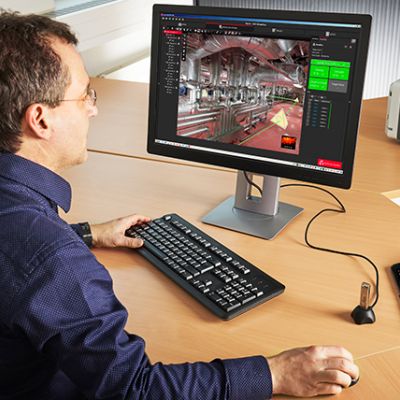
Cyclone Register 360 empowers users of any skill-level to work smarter, deliver results more accurately, visualize in more detail and collaborate more effectively - placing the user at the center of their projects.
Up to 20x speed improvement of processing and import of scan and image data.
Up to 20x speed improvement of processing and import of scan and image data.
