Cintoo
Technology and Solutions.
Cintoo develops technologies and solutions for managing and leveraging the 3D data coming from Reality Capture devices in the cloud. Cintoo has developed a unique point cloud-to-surface technology that translates data from terrestrial laser scanners into a new generation Reality Data that is versatile, collaborative, distributable, streamable and efficient. This technology is embedded into Cintoo Cloud ™, a laser scanning hardware and BIM platform agnostic cloud-based platform. With Cintoo, your laser scans become BIM-compatible!
Innovation for the 3D Community
Cintoo’s innovation relates into various algorithms that constitute a major breakthrough for the 3D community, and which make a unique offering in the AEC and Infrastructure industries.

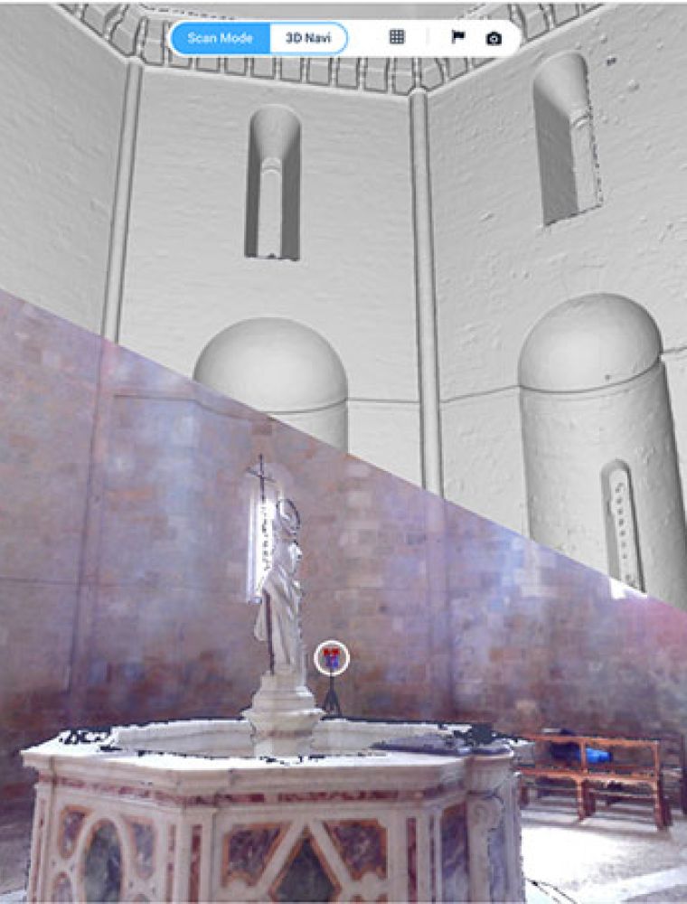
Cintoo, Case Technologies, and the Volterra-Detroit Project
"This project has become such a ground-breaking research effort involving technology partners and collaborators from around the world. As the scope of the project continues to increase, we have struggled to find a platform to efficiently share data with the team and this important work with the public. Cintoo provides us a tool which solves this problem." - Mark Dietrick, Director of Services, Case Technologies;
Board of Directors, Volterra-Detroit Foundation
Workflows
The solutions and support you need.
Full Autodesk ReCap Format Support

Cintoo Cloud ™ will import your structured laser scan projects in the Autodesk RCP format via Cintoo Connect (E57 also supported).
Cropped sections and elevations can be exported in RCS format to be consumed natively in AutoCAD or Revit for Scan-to-BIM.
The download and export via Cintoo Connect of the whole project, a Work Zone or selected individual scans will generate a unified point cloud in RCP format to be consumed natively in the whole Autodesk portfolio (structured E57 also supported in export).
Reality Data Anywhere
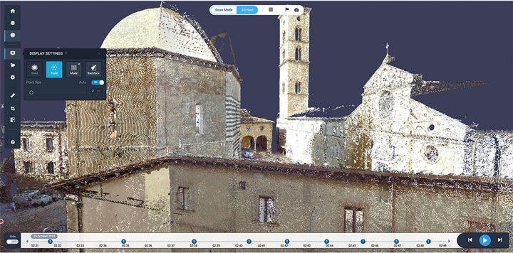
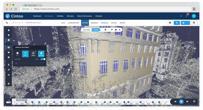
Cintoo Reality Data makes it possible to access high precision terrestrial laser scans on demand from a simple Web browser.
The whole project structure with scan location and panoramas is preserved.
User-defined Work Areas allow to view and interact only with the necessary fraction of the project that is needed for a given work for a maximum efficiency.
The whole project structure with scan location and panoramas is preserved.
User-defined Work Areas allow to view and interact only with the necessary fraction of the project that is needed for a given work for a maximum efficiency.


Reality Data vs. BIM
Cintoo Cloud ™ can be connected to selected BIM Management Platforms to pull and push data related to the project (3D models, reports…).
Aggregation of the Reality Data and the 3D BIM model is done within Cintoo Cloud™’s viewer.
All the features of the Cintoo Cloud™ platform are then available for both the Reality Data and the BIM model at the same time: measurements, notes, crop in X, Y and/or Z,… for detailed QA/QC (Quality Assurance/Quality Control) checks.


Reality Data to BIM
Cintoo Reality Data makes it possible to access high precision terrestrial laser scans on demand from a simple Web browser.
The whole project structure with scan location and panoramas is preserved.
User-defined Work Areas allow to view and interact only with the necessary fraction of the project that is needed for a given work for a maximum efficiency.
The whole project structure with scan location and panoramas is preserved.
User-defined Work Areas allow to view and interact only with the necessary fraction of the project that is needed for a given work for a maximum efficiency.

